Location on the map in relation to other ancient remains.
Conducted research procedures
 The purpose of the study was to complement the 3D ontology of Baltic Sea wrecks collected by the Finnish Maritime Archaeological Society. The wreck was tentatively located according to the coordinates in the Finnish Heritage Agency's Kyppi.fi service, but when confirming the location with a side-scan sonar, it was noticed that the coordinates of the Finnish Heritage Agency were about 50 m too much in the southeast, as can be seen on the attached map of the museum network on 14. 2. 2024. The coordinates of hylyt.net, on the other hand, were about 50m too much in the west-southwest.
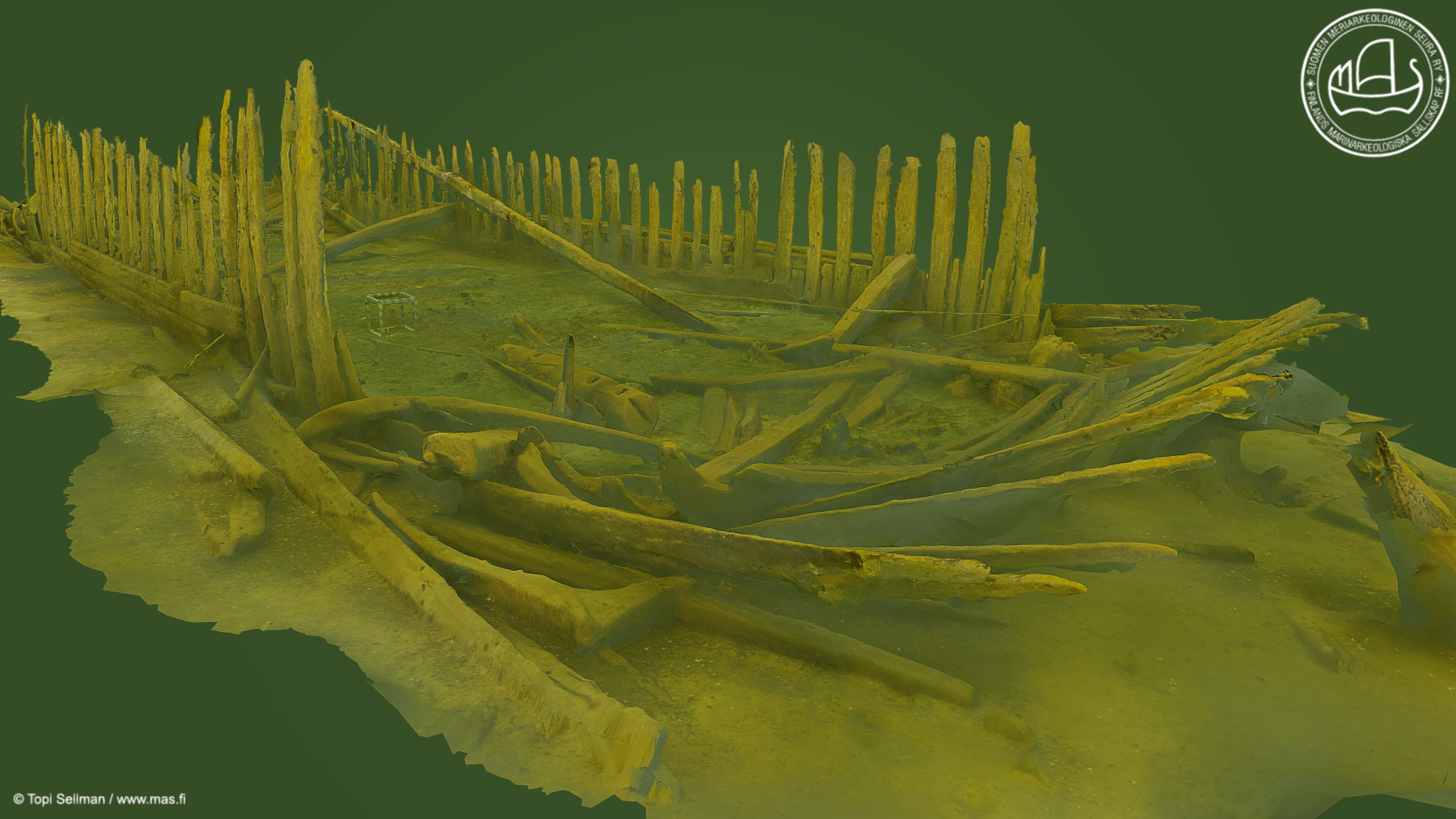
A smaller MAS calibration cube was placed in the wreck, with an edge length of 44 cm. Topi Sellman filmed the wreck in a 4k video from a distance of about one metre, so the resolution of the image is more accurate than that of the human eye. In addition, Markku Luoto filmed the wreck with 4k/FHD stereo videos, and other MAS explorers photographed the artifacts or structural elements in the wreck with high-resolution photographs.
The quality of the wood material was broadly observed, and for dating purposes, a sample was taken from the third rib on the starboard side - when viewed from the bow. Topi Sellman created a 3D model of the wreck, approximately 130MB in size, containing around 7 million polygons. A radiocarbon dating sample was analyzed using the so-called AMS method, with results and interpretation available in the adjacent chart. At the end of each dive, plastic debris that had accumulated on the wreck was removed.
Site description
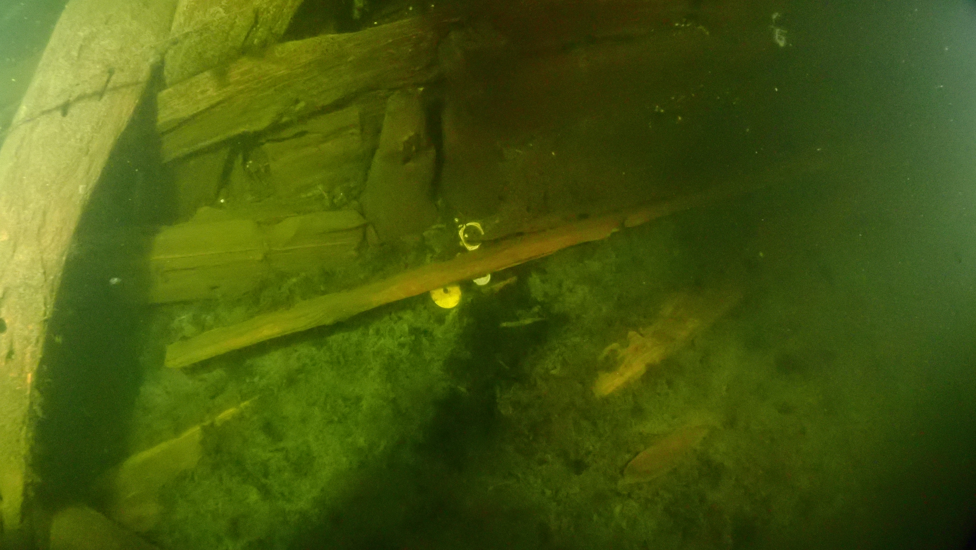
The wreck lies at a depth of approximately 21 meters, oriented almost south-north, with the bow facing south. The bow has been identified by features like the stempost and "cutwater," as well as other structural parts typical of a bow. The wreck area is up to 35 meters long, with at least 28 meters being the wreck itself. It is about 7 meters wide. The wreck has sunk into the mud by at least 1–1.5 meters, and it does not appear to have cargo or a significant amount of ballast.
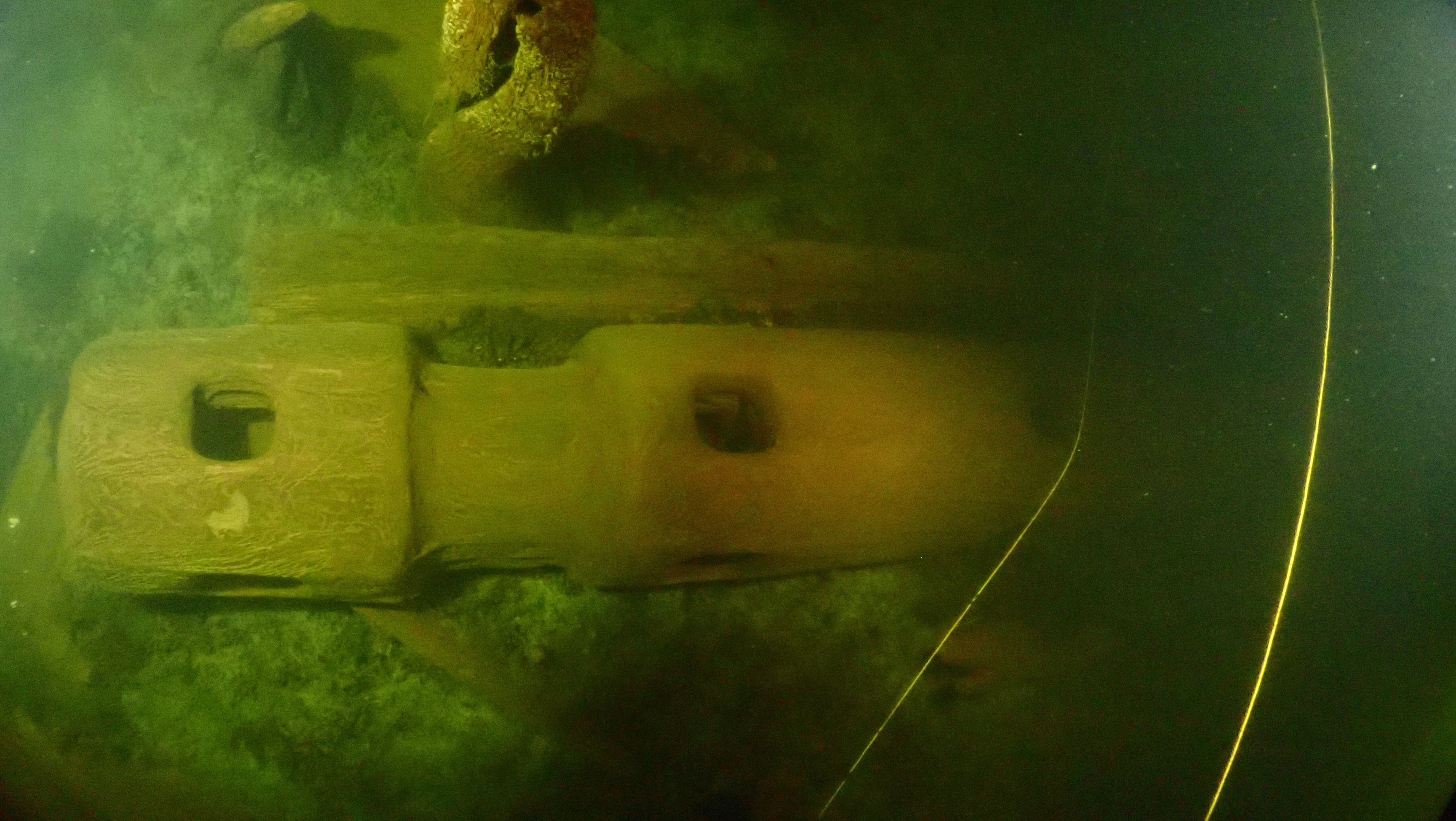
The frames are smooth, suggesting a carvel-built construction style. The frames are surprisingly thin—barely thicker than the planks. However, they are very densely placed, practically touching each other. The frames are also unusually straight, making the wreck's shape resemble modern cargo ships more than historical vessels. Inside the hull, there is some garnishment, but only a few knees have been located on or around the wreck. These include both types: "hanging" and "dagger" knees. There are hardly any traces of deck beams or decking. No artifacts were located on the wreck except for an impressive windlass.
Prelminary assessment

ur members' preliminary interpretation is that the vessel in question is most likely a cargo ship intended for sheltered inland waters—possibly even a barge. The construction material appears to have been predominantly coniferous wood and, as mentioned earlier, the frames were exceptionally thin. Although the framing was dense, it likely did not provide sufficient rigidity to the hull to withstand even moderate wave action at sea—at least not over the long term. The same applies to heavy cargo, which would exert excessive pressure on the bottom and sides relative to the material's strength. Thus, our educated guess is that the vessel was used only for transporting lightweight loads, such as feed and straw delivered to cattle on the Haapasaari islands.
Regarding the radiocarbon dating, we interpret that the wood material of the sample (cellulose) is most likely from the late 1600s or mid-1700s, with the probability peak falling in the 1690s. The similarity of the radiocarbon profile to that of vessels involved in the second naval battle of Ruotsinsalmi raises the question of whether this might be a Russian supply ship originally intended for the Neva River routes.
The 3D model of the wrecksite
Pictures from the wrecksite
|
The head of the windlass is unusually well-defined, and the attachment point for the cheek, as well as the attachment points for the levers or 'spokes,' can be distinguished |
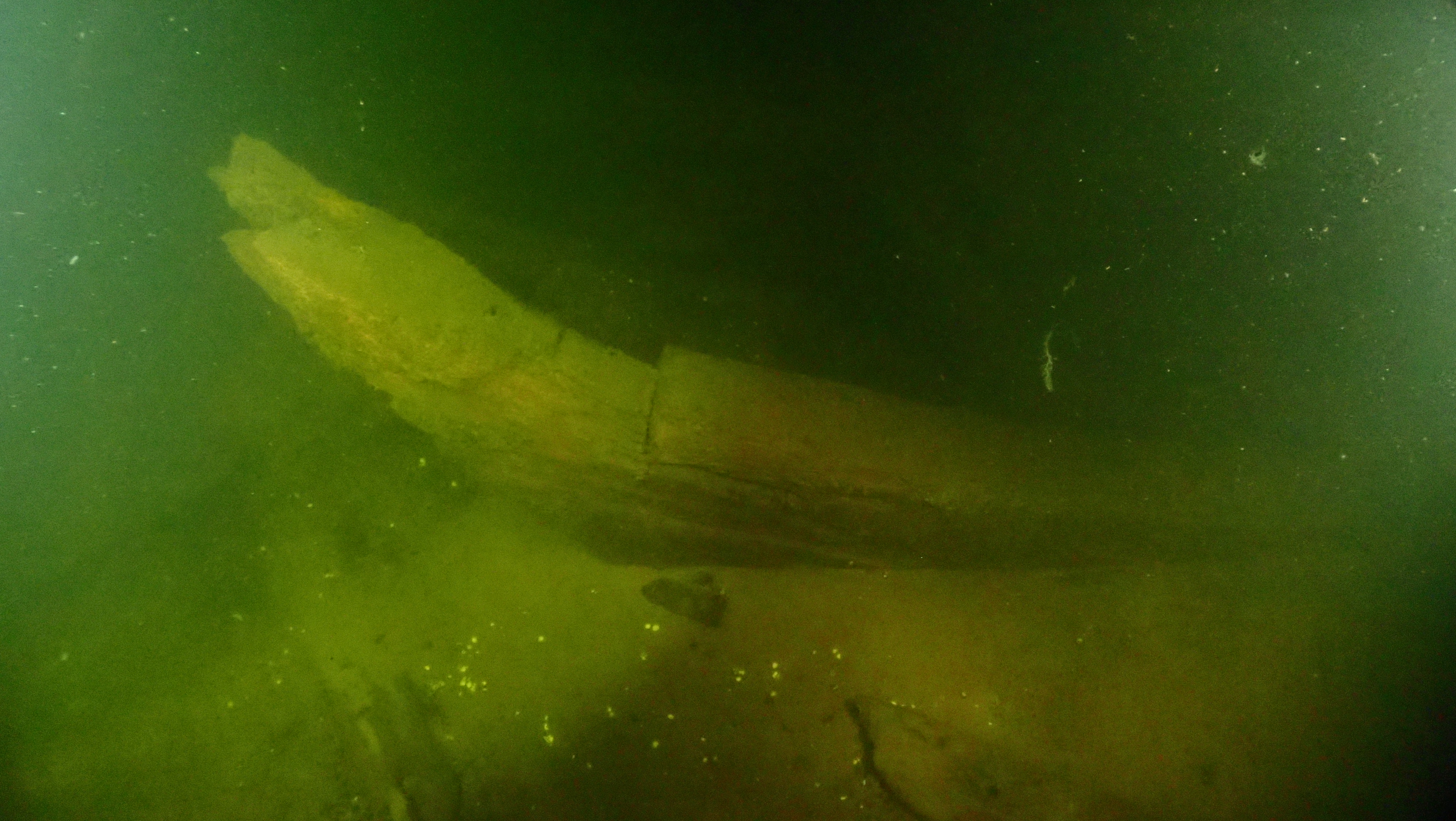
"The 'cutwater' and the distance between the stempost and the sternpost is approximately 30 meters, but the keel might be broken along the way |
|
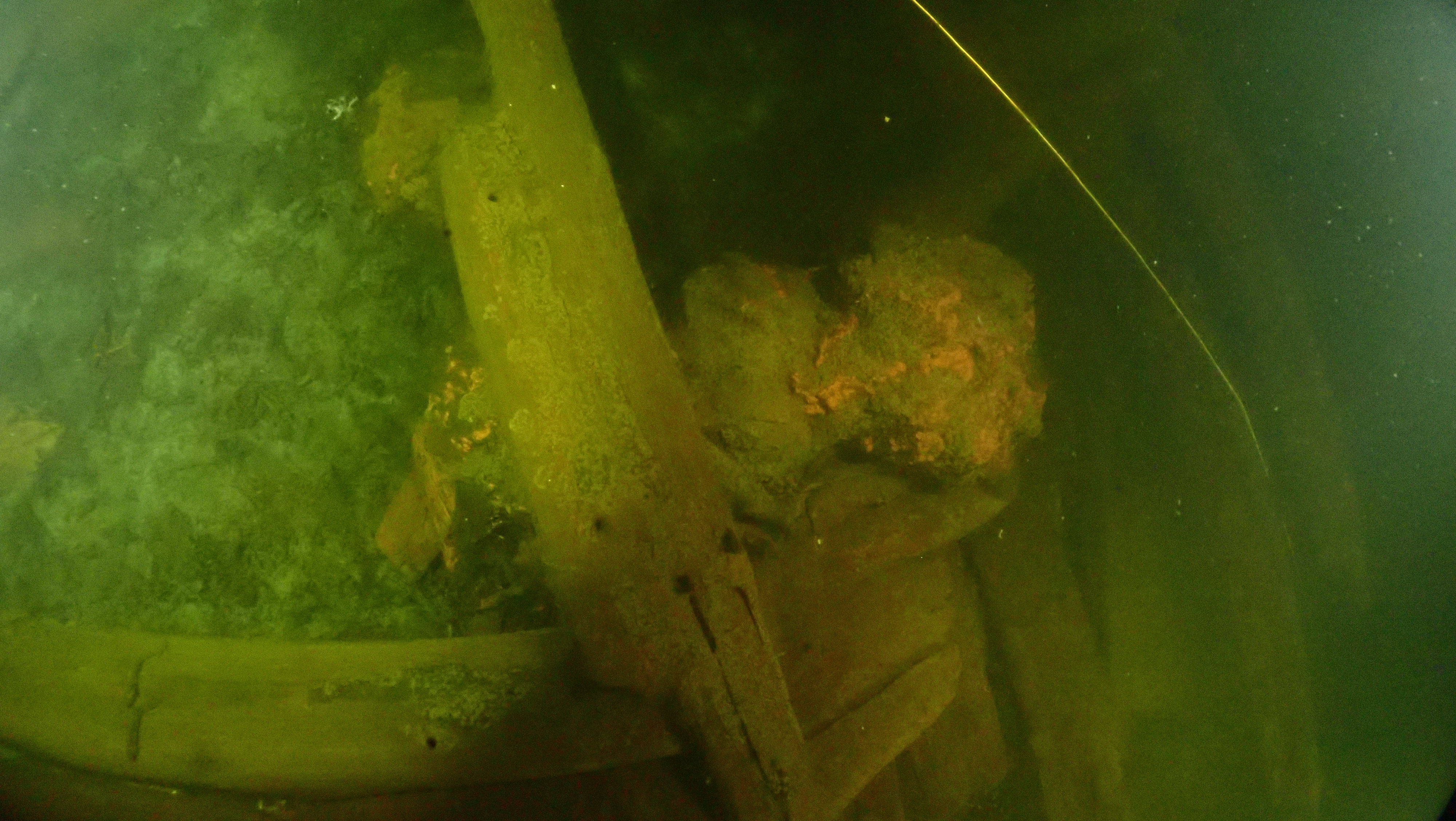
A rust lump located quite near the bow raises questions |
Wrecks often accumulate plastic debris, which volunteers clean up |
Teh latest uppdate 26.03.2024
Previous version as PDF:
![]() jarvenkari_mvid1131_2024-0326_mas.fi_.pdf
jarvenkari_mvid1131_2024-0326_mas.fi_.pdf


